
Ridley Township Neighbor Record Sources
Ridley Township neighbors can be researched as a small group of adjacent parcels, not as a claim about all people on a block. The official source sequence begins with a site address or parcel identifier in the county property and map system. The parcel layer supplies geography. The Recorder supplies parties to individual transactions. A historic map can explain a road or lot pattern, and the Township Organizations page supplies public community contact routes. None of those sources makes a complete household roster.
| Source | What It Shows About a Block | Access |
|---|---|---|
| County GIS parcel layer | Adjoining parcels, PIN, parcel ID, municipal name, site address, map ID, description, size, and geometry | Public map/data layer or Assessment GIS contact |
| Property and tax record | Address or parcel-led property context and map path | County address, parcel, advanced, or map search |
| Recorder document chain | Transaction parties, recorded plans, deed references, and legal descriptions for a parcel | Cloud Search, PAROD, counter |
| Street voter list | Time-specific registered-voter information where the statutory channel applies | County elections office and regulated request process |
| Township organizations | Public civic and youth-organization links | Township Organizations page |
The county property system removed personal-name searching and property photographs for privacy and security. Its documented role is an address-to-parcel route, not a name directory. Likewise, a parcel polygon may sit next to another polygon without showing the current occupant, mailing address, or other individual connection.
Ridley Township Neighbor Parcel Method
Map a Ridley Township block by keeping one parcel at a time. The Delaware County Real Estate & Tax Records system has documented address, parcel-ID, advanced, and map modes. Its parcel-map connection is the practical start. The County GIS service also provides a public parcel feature layer with site address, municipality, PIN, parcel ID, map ID, description, size, and parcel geometry. Those fields identify land records, not confirmed residents.
- Enter the full address in the property system or map route. Preserve the subject parcel’s PIN and site address exactly as displayed.
- Open the adjoining parcel polygon one at a time. Compare its parcel ID, municipal label, and site address instead of assuming a nearby shape is the next home.
- Use the parcel ID or legal description to open that parcel’s separate Recorder trail. Check the recorded party role and document date.
- For a historic question, use the dated atlas or aerial layer before carrying a present street layout backward in time.
- For a whole named street rather than the immediate block, use the Ridley Township street directory workflow, which follows the address record chain parcel by parcel.
Recorder Cloud Search accepts parcel IDs in the dashed form, along with party names, document types, document numbers, date ranges, and municipality. The property system’s lack of a name search is deliberate, so a result should be read as a property record, not a shortcut to every neighbor.
Ridley Township Neighbor GIS Fields
The Delaware County public parcel layer is the most precise geographic source for nearby parcels. Its documented fields include PIN, PARCEL ID, MUNICIPALI, SITE ADDRESS, MAPID, DESCRIPTION, SIZE, parcel type, tax-year fields, geometry, and a more-information path. The service supports geometry, spatial relationship, distance, output-field, and count controls. That proves it can query around a selected geometry, but it does not mean the ordinary resident-facing map promises a one-click neighbor list.
Browse the polygon immediately beside the subject parcel or use the service’s geometry/distance tools where appropriate. Then open each distinct parcel record and verify any owner or tax-card information at that source. The research did not find owner or mailing-address fields promised by the public layer itself. County assessment data can also be directed to the Board of Assessments GIS Manager at 610-891-4793.
The public parcel-layer source shows the county geographic step.
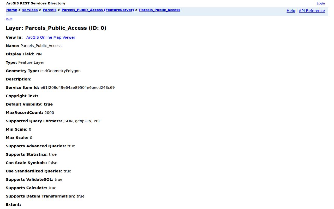
Use its geometry to identify which records to inspect. Do not turn a parcel boundary into a conclusion about who lives next door.
Note: A parcel is a land unit, while a neighbor is a person, so the two need separate record evidence.
Ridley Township Neighbor Organizations
For public community contacts, use the Township’s own Organizations page. It links athletic, youth, and civic groups, but it does not publish member rosters. That limitation matters. An organization can help a reader find a public activity or contact route around Ridley Township, yet it should not be treated as evidence that a particular household belongs to it. The Township emergency-services page similarly identifies local fire companies by community without making their rosters public directories.
Folsom and Nall
Folsom Athletic Association and Nall Athletic Club appear in the Township’s public organizations list. Use the listed links for official contact information.
Kedron and Swarthmorewood
Kedron Youth Association and Swarthmorewood Athletic Association are public community links, not membership lists.
Ridley Area Programs
Ridley Area Little League, youth lacrosse, hockey, football/cheer, and other programs are listed as community organizations.
The Township Organizations source preserves the official starting point for those public links.
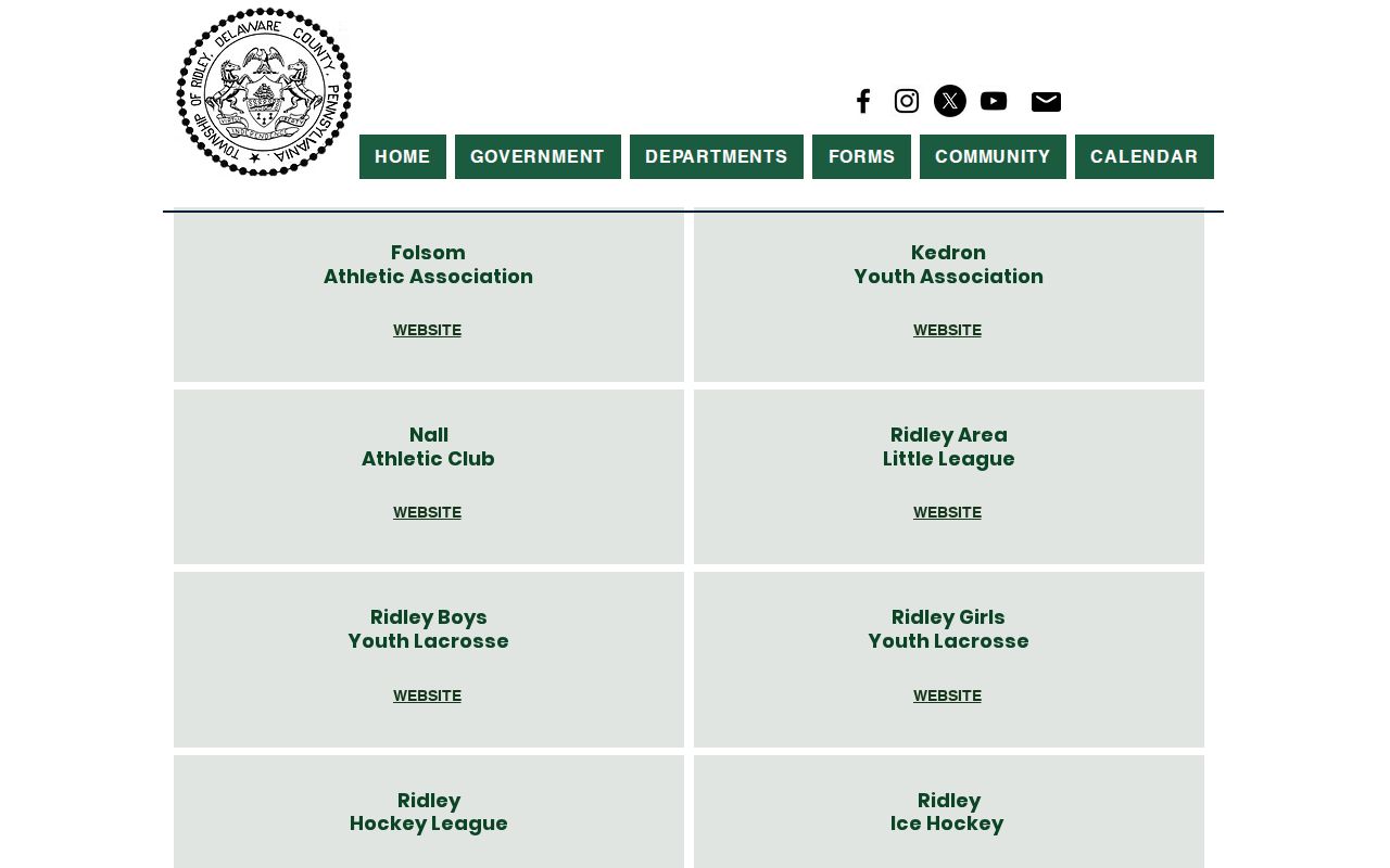
Contact an organization through its public channel and leave individual membership or household information private unless the organization itself makes a contact public.
Ridley Township Neighbor Voter Window
Pennsylvania has a limited street-oriented voter-record channel, not a general neighbor search. Under 25 Pa.C.S. § 1403, a pre-election street list may be arranged by streets and house numbers or another residence-identifying method. Under 25 Pa.C.S. § 1404, public voter material is regulated and excludes electronic signatures and SURE numbers. A Street List may include name, residential and mailing addresses, party, and active/inactive status; a Walking List omits the mailing address.
The state request process requires the requester to identify themselves and make a written use statement. The form limits use to permitted election, political, or law-enforcement purposes, includes a noncommercial and no-internet-publication affirmation, and lists a $20 electronic charge for each county or statewide export. Delaware County Voter Registration, 201 W. Front St. in Media, can explain status corrections and public-list procedure. A listed voter is not proof of every adult at an address, current physical occupancy, or ballot choices.
Protected participants may use substitute addresses through Pennsylvania’s Address Confidentiality Program. A missing name or public-list mismatch should never be used to claim a person is absent from the Township.
Ridley Township Neighbor Map History
A block was not always drawn or named as it is now. The County Historic Maps program identifies the 1870 Hopkins Atlas, 1882 railroad-property mapping, 1902 Baist atlas, 1909 atlas east of Ridley Creek, 1913 atlas west of Ridley Creek, and 1920s Sanborn maps with later additions. It also points to aerial collections for several modern periods. Pick a map that fits both the place and the year, then compare streets, lots, and municipal labels with the current parcel view.
Ridley Township’s postal and civic geography adds another check. Folsom, Holmes, Woodlyn, Crum Lynne, Secane, Leedom, Milmont Park, and Swarthmorewood are Township communities, while Ridley Park is a separate borough. Nearby rail-line towns separated from Ridley between 1887 and 1894. A historic map helps place an old record but cannot name every resident of a block.
Note: A historic road line can explain an address mismatch, but a dated Recorder document is still needed for a parcel-specific claim.
Ridley Township Neighbor Tool Differences
Official records and commercial neighbor-search categories serve different purposes. County sources identify a record holder, date, and specific field limits. Commercial compilations may combine public and marketing data, can be stale, and may join people with similar names. They do not replace the parcel, Recorder, elections, or custodian record. When a current concern involves a record, verify it with the office that holds it rather than relying on a compiled result.
| Official source | Commercial neighbor-search category | Best practice |
|---|---|---|
| Shows a defined parcel, document, map, or regulated voter record | May combine mixed public and marketing data | Check the original official record and its date |
| Explains access limits and a custodian contact | May be incomplete, stale, or conflate similar names | Do not infer household membership from a compiled result |
| Can be corrected or requested through a government process | May have its own privacy-request process | Use the service’s official process without expecting it to change government records |
The Township’s open-records page is a local route for a defined request. Pennsylvania’s Right-to-Know Law generally requires a response within five business days, but exemptions and the scope of a request still matter. Ask for a specified address, record type, and time period instead of a broad list of neighbors.
The Township open-records source shows the appropriate municipal request channel.
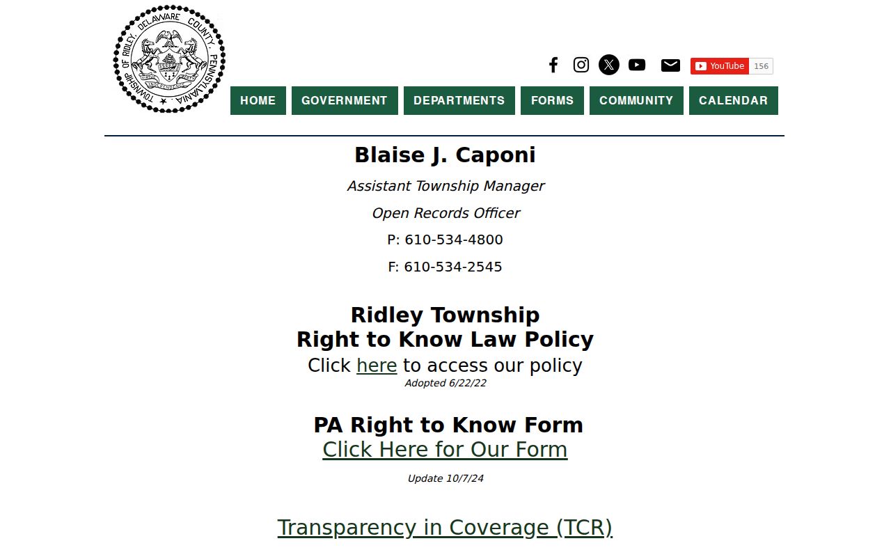
A narrow request gives the custodian a better chance to identify responsive public records while protecting exempt information.
Ridley Township Neighbor Privacy Boundaries
Some information should not appear in a Ridley Township neighbors search. Pennsylvania’s Address Confidentiality Program, governed by 23 Pa.C.S. ch. 67, lets eligible participants use a substitute mailing address for a range of records, including voter registration. Applications and actual addresses are confidential and outside Right-to-Know Law public records under § 6703. The county’s choice to remove property name search and property photographs is another local privacy boundary. Utility accounts, motor-vehicle personal information, protected court material, and unrecorded individual connections are not generic public block data.
The Pennsylvania Address Confidentiality Program source explains the official protection route.
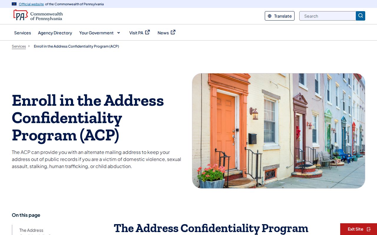
Protected addresses remain protected even when a nearby parcel or older document can be found in a public source.
Lawful use. Public records do not authorize monitoring, intimidation, or repeated unwanted contact. Pennsylvania anti-harassment and stalking laws, 18 Pa.C.S. §§ 2709 and 2709.1, apply to conduct toward any neighbor.
The Pennsylvania Megan’s Law public website is a statutory public-safety resource with its own warnings, not a general block directory.
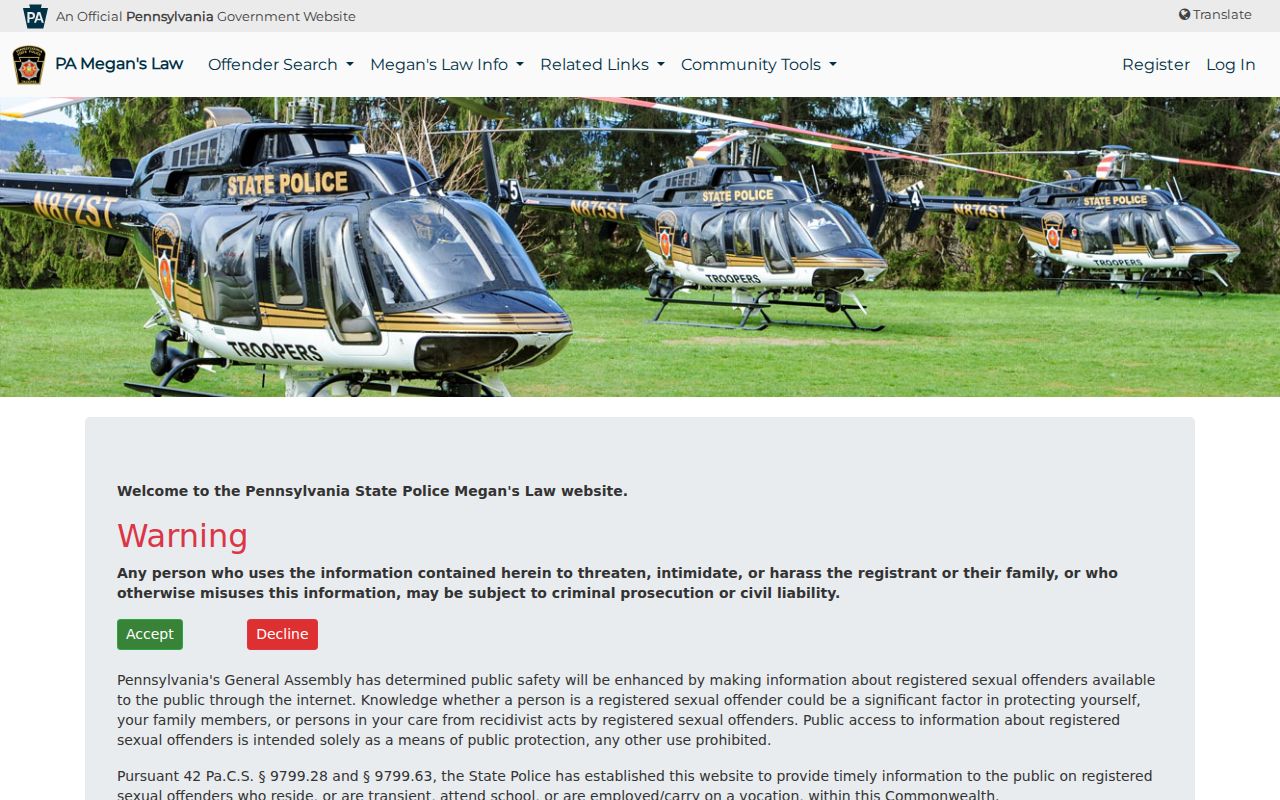
Use only its official purpose and warning. The state cautions that threatening, intimidating, or harassing registrants or their families can create criminal or civil liability.