
Walk a Ridley Township Street
The useful route through Ridley Township begins with a specific address, not a personal name. Delaware County deliberately removed name searching and property photographs from its assessment system for privacy and security. Its Real Estate & Tax Records system instead offers address, parcel-ID, advanced, and map paths. That makes the address the stable starting point for a street directory search. Save the parcel ID, the site address as displayed, and the date of the lookup before moving to a deed or historical source.
Ridley Township records are split between county offices in Media and the municipal counter in Folsom. The county holds the assessment, map, Recorder, and election channels. The Township can have a narrow address file, such as a certificate-of-occupancy or permit record, but it does not publish a verified issued-permit database or a full household roster. Treat each result as evidence for its own date and purpose.
- Enter the exact address in the county property system and preserve the parcel or PIN returned with the property record.
- Open Map Search to orient that parcel on the street and compare its site address, municipality, map ID, description, size, and geometry.
- Send the parcel ID to Recorder Cloud Search in its dashed form, or begin from the most recent deed book and page when that reference is available.
- Check the Recorder result by party role, document date, legal description, and document number. A party to a deed is not a verified current occupant.
- For a dated household lead, consult a verified directory volume or a legally controlled voter-list channel, then compare the result with the address and period.
Note: Keep a short log of the address, PIN, source, and date so an older deed or directory listing is not mistaken for a current fact.
Ridley Township Address and Parcel
A parcel is the county’s identifier for a piece of land. It connects the physical address to map and Recorder systems, even when an old document uses a subdivision, lot, block, or legal-description phrase instead of a modern house number. The county’s public parcel layer exposes PIN, parcel ID, municipal name, site address, map ID, description, size, and geometry. It does not promise a current owner, mailing address, or resident roster in that layer.
The Delaware County Map Search provides the visual part of the Ridley Township street directory process. Click or browse the parcel, then open each property record separately. A GIS polygon only shows the land relationship. It cannot confirm who lives on the parcel. For parcel data or map questions that do not resolve online, the Board of Assessments GIS Manager is the county fallback at 610-891-4793.
Delaware County Property Taxes shows the county’s official property-tax route, including current and back-year tax links and homestead-status information.
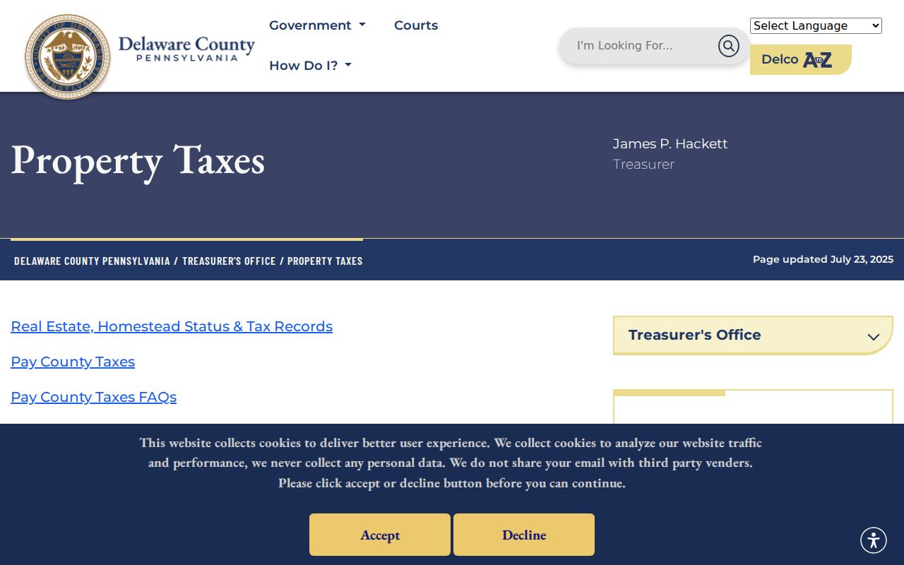
The property-tax page supports parcel and tax context. It does not turn a street directory search into proof of every person connected with the address.
- Parcel or PIN
- A county identifier for the property, used to connect an address with map, tax, and Recorder paths.
- Situs address
- The physical location used for the address, parcel, and map lookup. It can differ from a correspondence address on a particular record.
- Legal description
- The lot, block, subdivision, or metes-and-bounds wording in a deed. It often survives a changed street number.
- Criss-cross directory
- A directory section arranged by street and address, when a verified volume actually includes one. No all-Township run was confirmed here.
Map Ridley Township Street Records
The map route is valuable when the street name is shared, a parcel has an irregular shape, or an older record names a neighboring postal community. The parcel service supports site-address and municipal fields plus geometry. Its technical query screen also offers geometry and distance options, but that is county-data functionality, not a promise of a one-click street or household search. The practical method is simpler: locate the subject parcel, inspect the adjoining shape if useful, and open each distinct record one at a time.
The county map-search interface is the official source shown below.
Use the map as a geographic bridge from street address to parcel details. Confirm any party name in a Recorder document or other independent record before drawing a conclusion.
Ridley Township Recorder Street Search
Once a parcel ID or book-page reference is available, the Recorder supplies the document side of the street directory trail. Delaware County Recorder Cloud Search supports a Real Property quick search and distinguishes index-only results from index and full-text OCR searching. Its Advanced Search adds party controls, dates, document type and number, volume, book, page, full OCR text, and municipality. Preserve the wording of a legal description and any subdivision name, since those terms can retrieve the earlier document tied to the same land.
| Cloud Search field | Input type | Use in a street trail | Format or limit |
|---|---|---|---|
| Department | Displayed selector | Sets the records context | Real Property is shown in quick search |
| Search Term | Text | Find a party, subdivision, document type, number, or parcel | Parcel ID uses xx-xx-xxxxx-xx |
| Recorded Date | Date range | Narrows a known transfer period | Presets or a custom range are available |
| Search scope | Choice | Chooses index-only or OCR full text | Multiple OCR words are treated as a phrase |
| Advanced controls | Party, document, book, page, municipality | Tests a deed-chain reference | Party entry uses last name, then first name |
Recorder Online Records, also called PAROD, reports indexes and images for every Delaware County land record since 1799. Cloud Search is the county route identified for electronic certification. A record can still have limits. For example, military discharge material is restricted even though the Recorder processes it.
Recorder Online Records/PAROD is the source for this login and land-record access view.
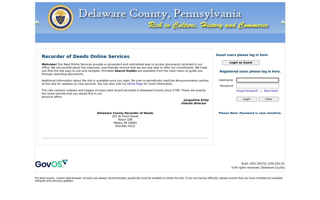
The Recorder screen belongs after the parcel step. It documents a transaction or plan trail, not a blanket answer about current residency on a street.
Ridley Township Street Directory Records
Address-keyed sources can be combined only when their limits stay visible. The assessment record begins the current parcel path. The GIS layer supplies location and geometry. Recorded documents show transaction parties and legal-description history. A Township certificate-of-occupancy or permit file may add a dated project or transfer detail if a defined request reaches an existing file. The voter route is limited by statute and timing. A historical listing is a dated publication, not a census of everyone on the street.
| Address-keyed source | Keeper | Street value | Access channel |
|---|---|---|---|
| Assessment and tax parcel record | Delaware County Board of Assessments and Treasurer | Site address, parcel identity, tax and assessment context | Address, parcel, advanced, or map search; GIS phone fallback |
| Public parcel layer | Delaware County GIS | PIN, municipality, site address, map fields, and geometry | Map layer, Map Search, or GIS contact |
| Recorded deed or mortgage | Delaware County Recorder of Deeds | Grantor, grantee, dates, document number, and legal-description chain | Cloud Search, PAROD, or Recorder counter |
| Street voter list | Delaware County Voter Registration | Time-specific registered-voter information permitted by law | Election-office inspection or regulated request channel |
| Certificate-of-occupancy or permit file | Ridley Township Code Enforcement | Defined sale, inspection, or project chronology where a file exists | Counter, 610-534-4803, or narrow RTKL request |
| Historic directory section | Library, archive, or verified digital volume | Listed household lead for that publication year | Catalog, reference staff, or the identified digitized collection |
These records do not share one universal key. The parcel ID is the best bridge between the property and Recorder systems. The street and house number are better for the map and a dated directory. The key point is to compare the document date, party role, legal description, and locality before merging the results.
Ridley Township Street Voter Lists
Pennsylvania provides a narrow street-based election record, not an open resident browser. Under 25 Pa.C.S. § 1403, a pre-election Street List may be arranged by streets and house numbers and shows registration information allowed by law. It is periodic, excludes people who are not registered, and cannot reveal protected Address Confidentiality Program locations. A status is also not proof that someone physically occupies an address today.
The state request form distinguishes a Street List from a Walking List and Full Voter Export. The Street List can include name, residential and mailing address, party, and active or inactive status. Electronic county or statewide lists cost $20, and the requester signs a noncommercial, no-internet-publication affirmation. Delaware County Voter Registration is at 201 W. Front St., Media, 610-891-4659. Someone checking their own registration can use the Pennsylvania voter-status channel, call 1-877-VOTESPA, or contact the county office.
Note: A street list is only a date-bound voter-registration record and must not be republished or treated as a list of all Ridley Township residents.
Ridley Township Address File Trail
The municipal fallback is useful when the question is about a defined property event rather than a name. Ridley Township’s Certificate of Occupancy procedure requires a completed application and Township payment at least 45 days before settlement. The form can record the premises address, seller and buyer names, contacts, property description, owner-occupied-unit count, smoke-detector and sump-pump details, settlement date, and applicant signature. The posted use or certificate fee is $150.
There is no verified online issued-certificate or permit index. Start with the Township Forms page or Code Enforcement at 610-534-4803, then identify the address, time period, and record category in a narrow request. The Township Open Records route follows Pennsylvania’s Right-to-Know Law, which generally calls for a response within five business days. A property file can date an inspection or transfer process. It cannot establish a complete list of residents.
Ridley Township Street Postal Labels
Street records in Ridley Township can wear a Folsom, Holmes, Woodlyn, Crum Lynne, Secane, Swarthmore, Morton, or Ridley Park mailing label. That is a records-geography issue, not a reason to collapse distinct governments. Rutledge lies within the Township’s geographic area but remains a separate borough, and Eddystone, Ridley Park, Prospect Park, Norwood, Glenolden, and Rutledge separated from the older Township between 1887 and 1894.
When an older directory, map, or deed seems absent, rerun the search with the postal community, preserve the exact place wording, and compare the date against municipal boundaries. The Township recognizes Crum Lynne, Folsom, Holmes, Leedom, Milmont Park, Secane, Swarthmorewood, and Woodlyn as community names. The exact site address and parcel identifier remain safer search keys than a broad locality label.
Limits of a Ridley Township Street Directory
A street directory can document parcel context, a recorded party, a dated election entry, or a historical listing. It cannot prove every person who lives at an address. Deeds usually identify transaction parties. Parcel geometry maps land, not people. Utility accounts and driver records are not general public directories, while court and voter records can have separate confidentiality rules. Pennsylvania’s Address Confidentiality Program also permits substitute addresses for eligible participants, including in voter and other government records.
Use the public sources for personal, civic, family-history, property-curiosity, or estate research, and verify important facts with the actual custodian. When the goal shifts to a historical volume, the Ridley Township Directory Book identifies the bounded local and regional collections without turning them into a current street roster.
Lawful use. Public records do not authorize surveillance, threats, repeated unwanted contact, or harassment. Pennsylvania statutes address harassment and stalking, and protected addresses must remain protected.