
Ridley Township ZIP Code Coverage
Ridley Township has several postal labels because its communities and nearby boroughs do not follow one post-office pattern. The verified entries below draw from Township polling-place and municipal evidence, plus official facility addresses. They are an address and postal-community guide, not a claim that each delivery area is entirely inside Township borders. USPS remains the current source for a specific delivery address, especially where a street lies close to a municipal line.
| ZIP | Areas Covered | Post Office | Notes |
|---|---|---|---|
| 19018 | Secane precinct and facility evidence | Clifton Heights postal label | A postal label does not change Township jurisdiction. |
| 19022 | Crum Lynne ward evidence | Crum Lynne | Local community and postal label align, but USPS verifies delivery. |
| 19033 | Folsom and Milmont Park, including Township municipal and library campus | Folsom | The municipal address uses this label; not every Township address does. |
| 19043 | Holmes, including Holmes Fire Company address | Holmes | Separate postal-community label. |
| 19070 | Ward 9 and Amosland-area polling facility | Morton | A Township-related precinct site uses Morton mailing geography. |
| 19078 | Leedom and Ward 6 precinct evidence | Ridley Park | Ridley Park is a separate borough; shared ZIP use is not a merger. |
| 19081 | Ward 2 and Ward 5 facility and a Township site on Milmont Avenue | Swarthmore | A Township facility can carry a Swarthmore postal label. |
| 19094 | Woodlyn ward evidence | Woodlyn | Central and western Township community label. |
The ZIP code directory is most useful when it keeps a place name from being overread. Folsom is the Ridley Township municipal address, but it is not the sole postal label across the Township. Holmes, Woodlyn, Swarthmore, Morton, Ridley Park, Crum Lynne, and Clifton Heights may all matter to a Ridley Township address search. Preserve the full address and municipality before opening a county record, because a postal label alone will not resolve the governing jurisdiction.
Ridley Township ZIP Code Postal Labels
The Township identifies Crum Lynne, Folsom, Holmes, Leedom, Milmont Park, Secane, Swarthmorewood, and Woodlyn as its communities. That community map is not the same as postal delivery geography. Rutledge Borough lies within the Township’s northern geographic area but is a separate municipality. A Ridley Park label can likewise refer to a distinct borough. The safest record search keeps four fields together: the street address, the postal label, the municipality, and the county parcel or PIN when one exists.
The Ridley Township communities and history page is shown below. It provides the municipal context needed before a post-office label is used to interpret a deed, archive entry, or county map.
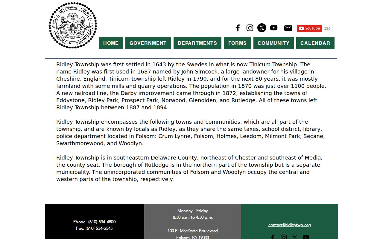
A label can lead to the right address, but it does not turn a neighboring borough into Ridley Township or establish who occupies a property.
Note: Postal geography is useful for locating an address, while jurisdiction controls the office that keeps the record.
Verify a Ridley Township ZIP Code
Use USPS ZIP Lookup to verify an individual Ridley Township delivery address before opening a Delaware County record. A ZIP is a routing tool, not a municipal boundary, parcel number, or ownership field. Census ZIP Code Tabulation Areas are also not a replacement, because the Census describes them as approximations of USPS service areas built from whole blocks. A result should be kept with the street address and the date it was checked.
The USPS lookup interface shown below is the delivery-address starting point. It can confirm the postal routing result, after which the county property system and map tools supply the address or PIN path for local records.
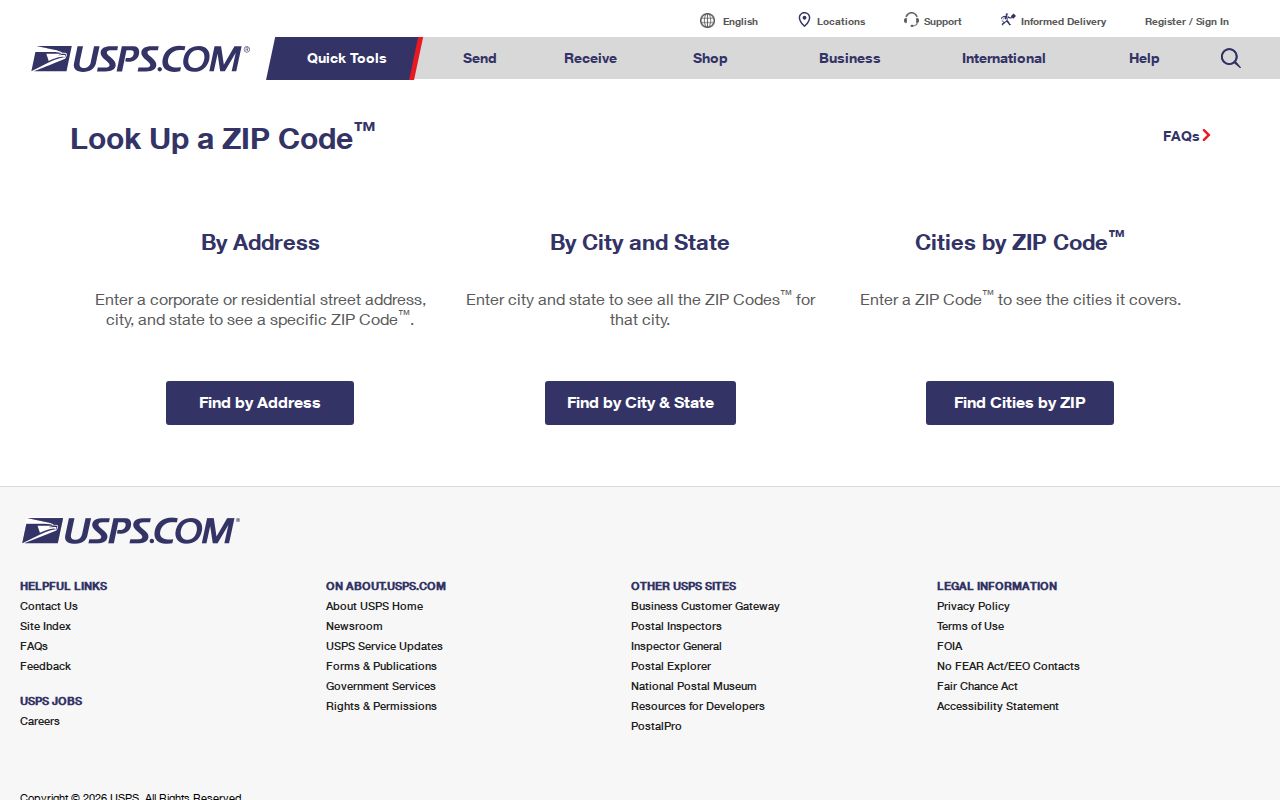
Do not use a postal result as proof that a person lives at the address. It only helps establish the correct routing label for the address supplied.
Ridley Township ZIP Code Search Path
No official Delaware County assessment, GIS, Recorder, or voter portal documented a ZIP-wide resident or owner filter during the research. The county property system uses address, PIN, advanced, and map modes. Recorder Cloud Search uses parcel, party, document, date, municipality, and related controls. A sound ZIP code directory workflow therefore narrows a known address before it searches a parcel or recorded document.
- Confirm the exact delivery address and postal label with USPS. Retain the street spelling, apartment or unit detail when applicable, and the date of the check.
- Enter the exact street address in Delaware County Real Estate & Tax Records, then preserve the displayed parcel or PIN and municipality.
- Use the county map or parcel layer to confirm the site-address and municipal context. Do not infer a household from a parcel polygon.
- Use the PIN, legal description, party, date, or municipality in Recorder Cloud Search only after the property record has narrowed the document trail.
Once a ZIP has narrowed the postal area, an exact-address trail is more reliable than a ZIP-wide list. The full street method belongs on the Ridley Township Street Directory, where parcel and recorded-document steps are handled in detail.
The county’s public parcel layer can then confirm a Ridley Township site address, municipality, PIN or parcel ID, map ID, description, size, and geometry. Its spatial tools can work from an input area or distance, but the ordinary task remains parcel by parcel. A polygon beside another polygon is a mapping relationship, not proof that any person lives there. If a map result needs clarification, the Board of Assessments GIS Manager is the county contact for parcel data and maps.
Ridley Township ZIP Records Without Filters
County systems still offer useful fields after an address is verified, but their documented modes do not turn a ZIP into a resident search. The table separates the local address and parcel routes from an unrelated state registration screen that does have a ZIP field. That state screen can confirm a registered contractor record, not a Township resident or a household. Keeping those roles separate avoids a false ZIP-wide result claim.
| Portal | Documented fields or modes | ZIP role |
|---|---|---|
| County property system | Address, PIN, advanced, and map modes | No documented ZIP filter. |
| Recorder Cloud Search | Parcel, party, document, date, municipality, book/page, and OCR controls | No documented ZIP filter. |
| GIS parcel layer | Site address, municipality, PIN, geometry, and spatial query | No documented ZIP filter. |
| PA contractor registration search | Registration number, business, applicant, address, city, state, ZIP, county, and work type | ZIP is a documented filter for registered contractor records only. |
The Pennsylvania contractor registration search appears below. Its ZIP control illustrates why a field must be read in context: it searches a state registration record and cannot be used to identify Township residents.
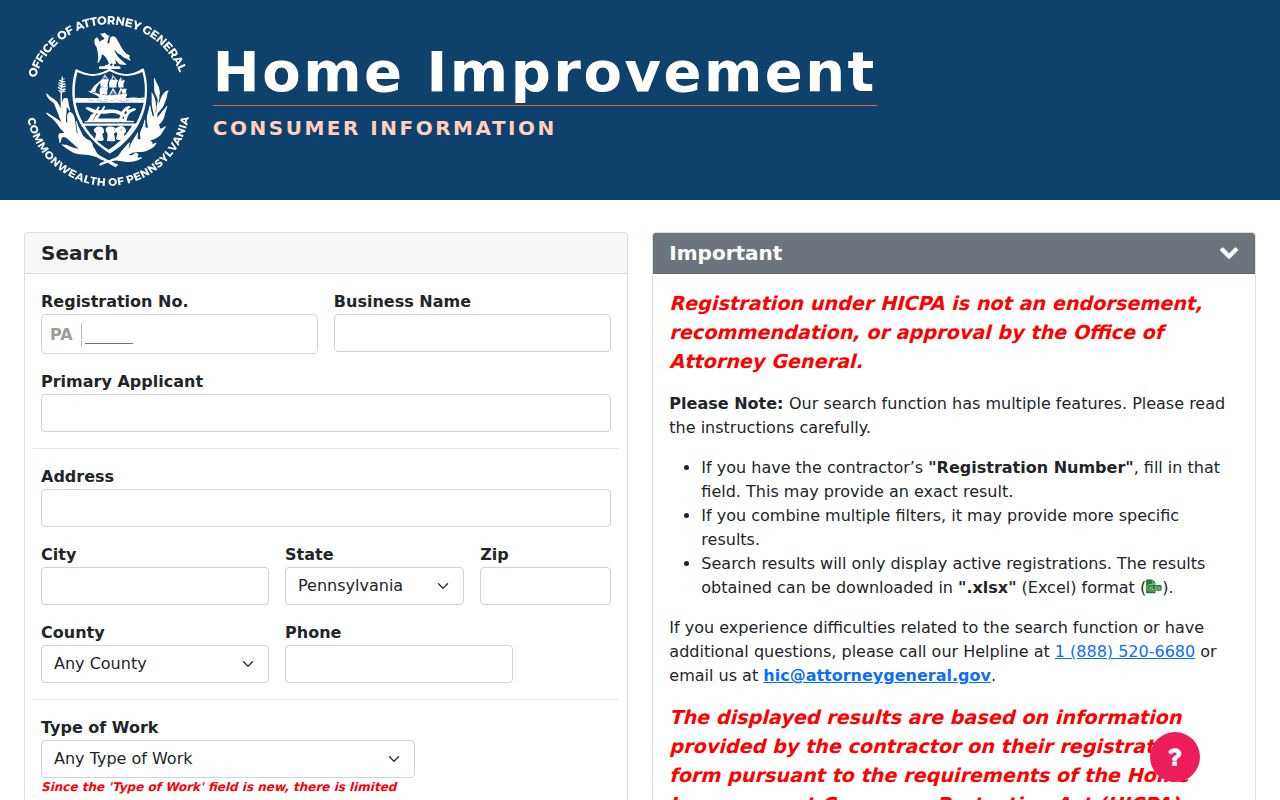
The local property and Recorder route remains address and PIN led, even when the starting postal label is known.
Note: A search field only describes the record set behind it, not every person connected to the same ZIP.
Ridley Township ZIP Address Keys
A postal label is only one address term. The county’s parcel and deed systems rely on separate keys that may not match the wording on an envelope. When an address search stops, preserve each available key rather than substituting one for another. The parcel ID or PIN is the common connector among the property system, map layer, and Recorder search. A legal description can carry the trail across a change in familiar street-number wording.
- Situs address
- The physical property location used in the county’s address, parcel, and map search routes.
- Mailing address
- A correspondence field on a particular tax or card record. It can differ from the situs address and must be verified on that source.
- Legal description
- The lot, block, subdivision, or metes-and-bounds description in a deed. It can survive when a familiar street number is not enough.
- ZIP+4
- An added postal delivery detail beyond the five-digit ZIP. It improves routing but does not establish a municipal boundary or parcel identity.
- Carrier route
- A postal delivery grouping. It is not a government boundary and not a list of people at an address.
The Recorder’s parcel and document controls use the keys supplied by the property search, not the postal label alone. When a deed refers to a lot, block, subdivision, or metes-and-bounds description, preserve that wording. It may be the reliable link to an older document when the current address, postal label, or familiar house number no longer gives a complete result.
Ridley Township Postal Boundary History
Historic records need a date as well as a postal label. Nearby Eddystone, Ridley Park, Prospect Park, Norwood, Glenolden, and Rutledge separated from the old Township between 1887 and 1894. Before treating an old map, directory, or deed as a current Township record, identify the exact municipality and post office named at the time. The County Planning map collection provides practical checkpoints, including Hopkins, Lee, railroad-property, Baist, Mueller, and later Sanborn maps.
The Delaware County historic-maps collection is shown below. The 1909 Mueller atlas covers east of Ridley Creek, while the 1913 Mueller atlas covers west of the creek, making map year and place part of the search.
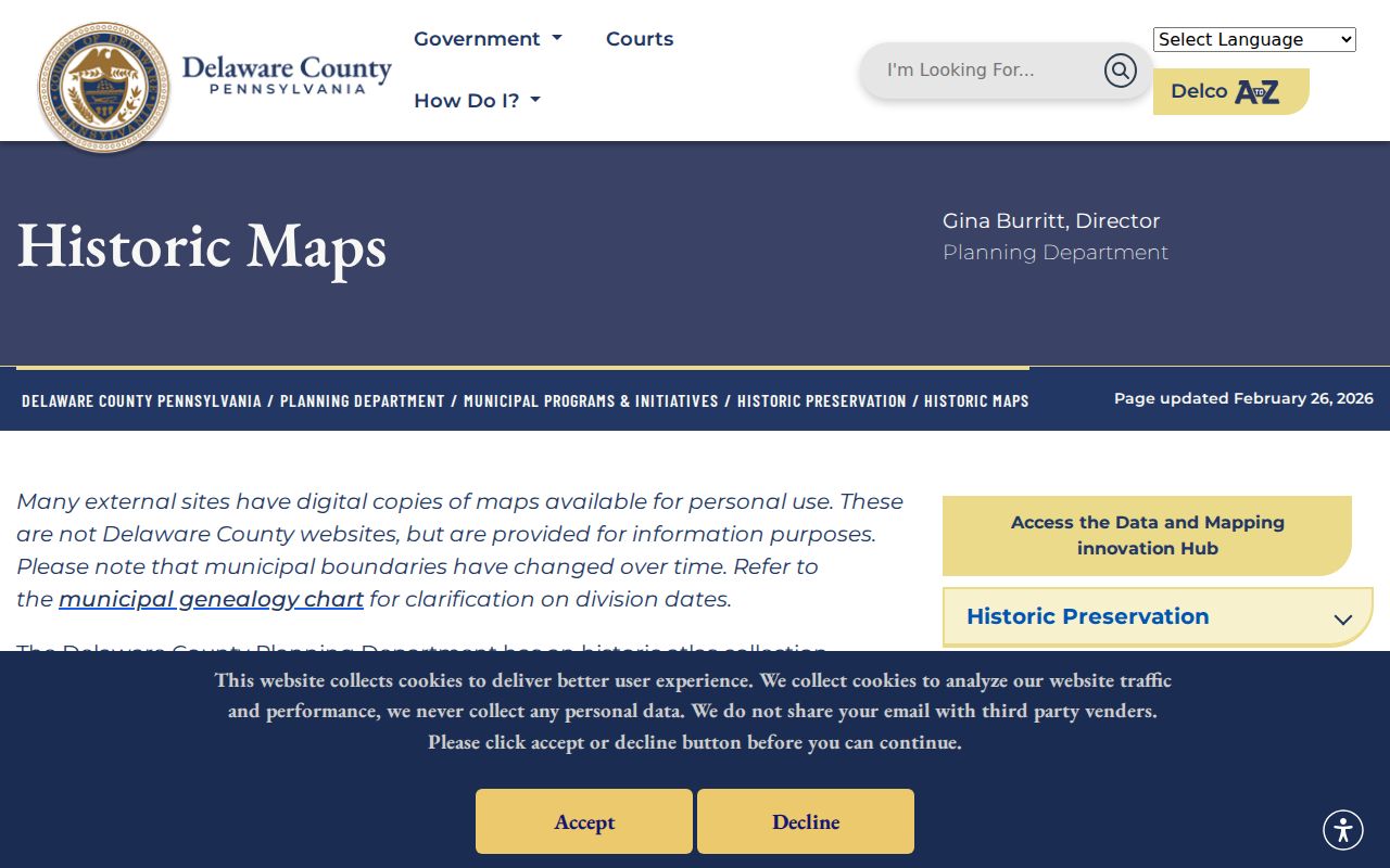
Historic maps supply road, lot, and boundary context. They do not replace a current postal verification or name each modern resident.
ZIP Code Limits Across Ridley Township
Postal routes and municipal limits serve different purposes. The clearest local mismatch is a Ridley Park postal label, which can appear in Township-related geography even though Ridley Park is a separate borough. Rutledge similarly lies within the Township’s northern geographic area while remaining its own municipality. A Township facility may also use a Swarthmore or Morton label. The location field in a record request should therefore name the full street address, municipality, county, and parcel detail when known.
Postal mismatch. A ZIP code narrows mail routing, not jurisdiction, ownership, or occupancy. Confirm the delivery address and then use the appropriate Delaware County or Township custodian.
County offices in Media keep the Recorder, courts, elections, Treasurer, Register of Wills, and Archives records that often accompany a Ridley Township address. Ridley Township’s municipal desk is in Folsom. Choosing the office depends on the record type, not the postal label printed on an envelope.